
 MITCNC & HCSF Hike: Sam McDonald County Park
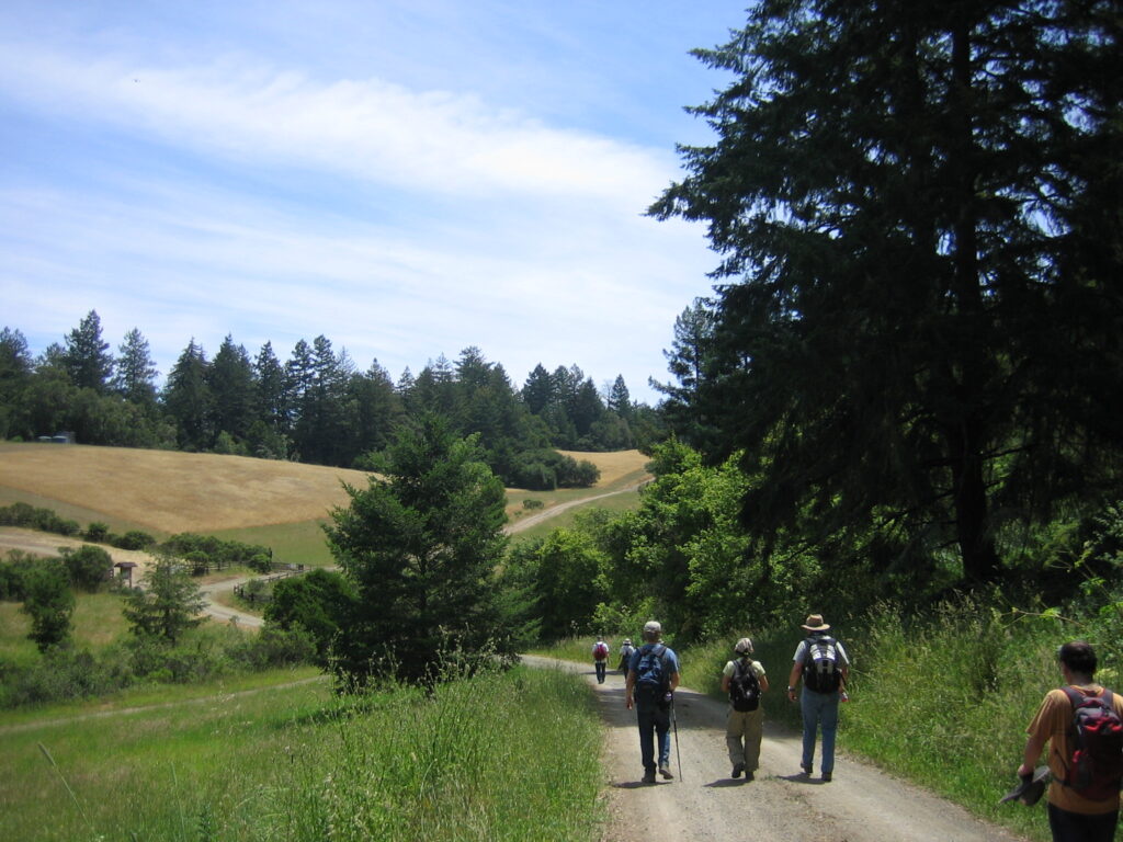
There's nothing like a hike in a cool redwood forest on a warm summer day. Sam McDonald County Park offers magnificent redwood forests and a ridge with vistas of the Pacific Ocean.
Date and Time
Saturday, July 13, 2024
10:00 AM - 3:00 PM PT
Location
Sam McDonald County Park (Parking Lot)
13435 Pescadero Creek Road
Loma Mar, CA, 94021
Distance: ~8.3 miles
Elevation Gain: ~1,300 feet (moderately strenuous)
Est. Time: ~5 hours
Parking: $6 (self registration, so bring the exact amount in cash)
Dogs and other pets are not allowed. There are restrooms and drinking water at the trailhead. Roughly half of the hike is in full shade and the rest is in alternating sun and shade.
Description:
There's nothing like a hike in a cool redwood forest on a warm summer day. Sam McDonald County Park offers magnificent redwood forests and a ridge with vistas of the Pacific Ocean. The park, some 850 acres, includes youth camps, an equestrian camp, and a hiker's hut managed by the Sierra Club. Adjacent to McDonald, Heritage Grove is a stunning 37-acre preserve of old-growth redwood forest. The grove includes what are considered to be among the Santa Cruz Mountains' largest redwoods.
The hike begins at the main parking lot (el. 645') and follows the Forest Trail to the northwest, until it meets the Ridge Fire Road. The Ridge Fire Road loops back to the southeast, offering views of the ocean on clear days. We continue along on the Towne Fire Road about 0.7 mile and take a spur trail to the hiker's hut. This is the highest elevation on the hike (1316') and our lunch stop. Views of the Pescadero Creek canyon and the coast may be seen from its backyard on Towne Ridge. After lunch we hike downhill on the Heritage Grove Trail to view the spectacular old grown redwoods and continue back to the parking lot.
For information about Sam McDonald County Park: https://www.smcgov.org/parks/sam-mcdonald-park
A park brochure with trail map may be downloaded from: https://www.smcgov.org/media/72866/download?inline=
Warning: This is a moderately strenuous hike. Please be sure that you are comfortable with this level of effort before joining us. And be sure to eat a nutritious breakfast, so that you arrive well fed, well hydrated and ready to hike.
Directions:
From 101 or 280: Take Highway #84 (Woodside-La Honda- San Gregorio Road) west to La Honda. Turn left 1/2 mile past the village center in La Honda on Pescadero Road. Be careful to turn to the right when Pescadero Road comes to a junction with Alpine Road! The park entrance is on the right side of Pescadero Road about 1.6 miles from Highway #84. On GoogleMaps: https://maps.app.goo.gl/4gTdAghfbT56Dmf98
Driving time: about 45 minutes from Sunnyvale
Carpooling is strongly encouraged, due to limited parking at the trailhead. You can go to https://www.groupcarpool.com/t/59k6o3 to join or create a carpool.
What to Bring:
- Water (at least 2 liters per person)
- A hat, sunglasses and sunblock
- $6 cash for parking
- Snacks and lunch
- Long pants, tall socks, closed toe hiking shoes
- Multiple layers of clothes (be ready for hot or cold conditions)
- Hiking poles (optional, but recommended)
Rain/Weather policy:
If there's any ambiguity about the weather on the day of the hike, check the forecast on the morning of the hike.
If it's raining significantly, the hike is cancelled. If the weather is ambiguous, we will send out an email to the registered participants on the morning of the hike.
Primary Contact
John Keen
john dot keen at alum mit edu